Deep Depression in Arabian Sea likely to bring rains to Canara Coast

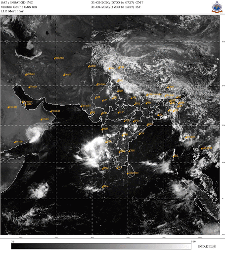 |
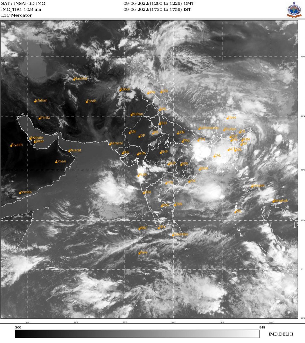
| Pic: IMD |
The coastal districts of Karnataka are likely to witness good rains.
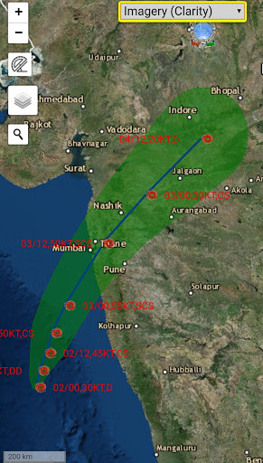
The Depression over East Central Arabian Sea moved northwards with a speed of 11 kmph during past 6 hours intensified into a Deep Depression and lay centered, at 5.30 am on June 2, over East Central Arabian Sea near latitude 15.0°N and longitude 71.2°E about 280 km west-southwest of Panjim (Goa), 490 km south-southwest of Mumbai (Maharashtra) and 710 km south-southwest of Surat (Gujarat).
It is very likely to intensify into a Deep Depression during next 12 hours and intensify further into a Cyclonic Storm over East Central Arabian Sea during subsequent 12 hours.
It is very likely to move nearly northwards initially till June 2 noon and then recurve north-northeastwards and cross north Maharashtra and south Gujarat coasts between Harihareshwar (Raigad, Maharashtra) and Daman during June 3rd afternoon.
Forecast track of Cyclone:
Weather Warning for Fishermen for Karnataka, Kerala and Lakshadweep area for next 24 hours from 6 am of June 2:
Squally weather wind speed reaching 40-50 kmph gusting 60
kmph likely to prevail along and off Karnataka and Kerala coast and also Lakshadweep area. Fishermen are advised not to venture into sea.
Special Weather Warning for Fishermen:
Day 1(02.06.2020) : Squally wind speed reaching 50-60 kmph gusting to 70 kmph is likely to prevail over eastcentral Arabian Sea along & off Karnataka-Goa coats and speed reaching 40-50 kmph gusting to 60 kmph over Lakshadweep area and along & off Kerala coast and Eastcentral & adjoining southeast Arabian Sea. Sea conditions are very likely to be Very Rough to High over eastcentral & adjoining southeast Arabian Sea and along & off Karnataka-Goa coasts.
Day 2(03.06.2020): Squally wind speed reaching 60-70 kmph gusting to 80 kmph is likely to prevail over eastcentral Arabian Sea and along & off south Maharashtra coast; speed reaching 50-60 kmph gusting to 70 kmph is likely to prevail over Eastcentral & adjoining southeast Arabian Sea and along & off Karnataka-Goa coasts and speed reaching 40-50 kmph gusting to 60 kmph over Lakshadweep area and along & off Kerala coasts. Sea conditions are very likely to be Very Rough to High over eastcentral & adjoining southeast Arabian Sea and along & off Karnataka-Goa coasts.
INCOIS warning:
High waves in the range of 2.4 – 3.5 meters are forecasted during 5 pm on June 1 to 11.30 pm of June 3 along the coast of Kerala from Pozhiyoor to Kasargod.
High waves in the range of 2.3 – 3.5 meters are forecasted during 5 pm on June 1 to 11.30 pm of June 3 along the coast of Lakshadweep Islands from Minicoy to Bitra.
High waves in the range of 3.0 – 4.3 meters are forecasted during 5 pm on June 1 to 11.30 pm of June 3 along the coast of Karnataka from Mangalore to Karwar.
Fishermen are advised not to venture into these areas during the period mentioned.
Weather Forecast for Canara Coast:
Dakshina Kannada
June 02 (10 am) to June 03 (8.30 am): Moderate to Heavy rainfall very likely at most places. Warning: Thundershowers with Gusty wind and Widespread Heavy rainfall.
Udupi: June 02 (10 am) to June 03 (8.30 am): Moderate to Heavy rainfall very likely at most places. Warning: Thundershowers with Gusty wind and Widespread Very Heavy rainfall.
Uttara Kannada: June 02 (10 am) to June 03 (8.30 am): Moderate to Heavy rainfall very likely at most places. Warning: Thundershowers with Gusty wind and Widespread Very Heavy rainfall.