IMD issues yellow alert for coastal Karnataka, heavy rain expected

Coastal weather forecast: May 19
Fisheries Forecast:
Karnataka Coast: Nil
Kerala Coast: Strong winds from NorthWesterly direction speed occasionally reaching 45-55 kmph likely along and off Kerala Coast and over Lakshadweep area . Strong wind speed reaching 65-75 kmph is likely along and off Comorin area and Gulf of Mannar.
Fishermen are advised not to venture into sea
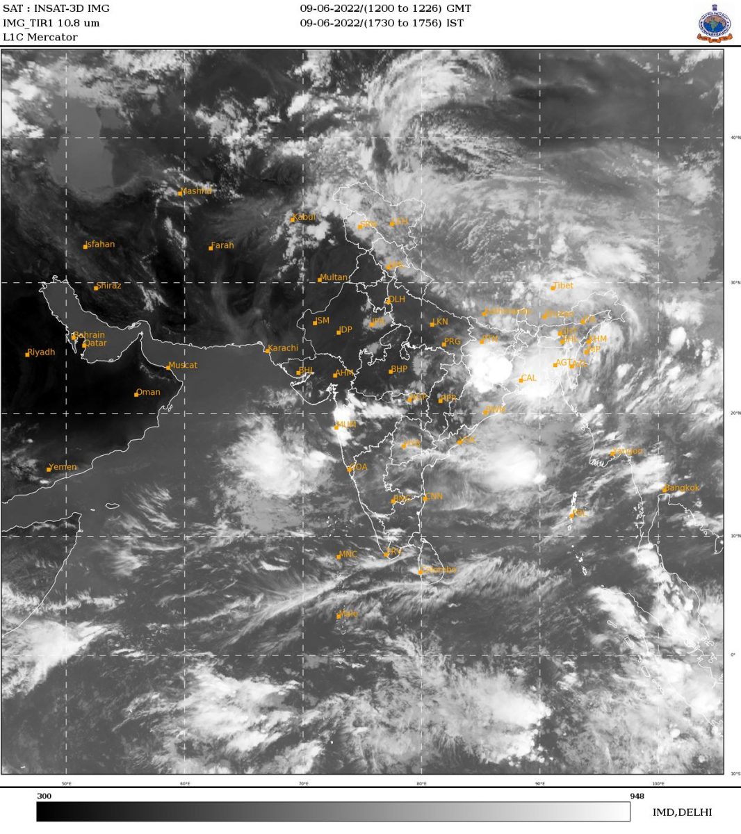
Weather forecast for Canara :
Dakshina Kannada :
May 19 (10 am) to May 20 (8.30 am): Moderate to Heavy rainfall very likely at wide spread areas. Warning: Thundershowers with gusty wind and heavy rainfall (Yellow alert).
May 20 (10 am) to May 210(8.30 am): Light to Moderate rainfall very likely at many places. Warning: Thundershowers.
Udupi:
May 19 (10 am) to May 20 (8.30 am): Moderate to Heavy rainfall very likely at wide spread areas. Warning: Thundershowers with gusty wind and heavy rainfall (Yellow alert).
May 20 (10 am) to May 210(8.30 am): Light to Moderate rainfall very likely at many places. Warning: Thundershowers.
Uttara Kannada:
May 19 (10 am) to May 20 (8.30 am): Moderate to Heavy rainfall very likely at wide spread areas. Warning: Thundershowers with gusty wind and heavy rainfall (Yellow alert).
May 20 (10 am) to May 210(8.30 am): Light to Moderate rainfall very likely at many places. Warning: Thundershowers.
Thunderstorm with lightning accompanied by gusty winds speed reaching 30-40 kmph likely at isolated places over Coastal Karnataka on 19th May 2020. Thunderstorm with lightning likely at isolated places over Coastal Karnataka on May 20th and 21st 2020.
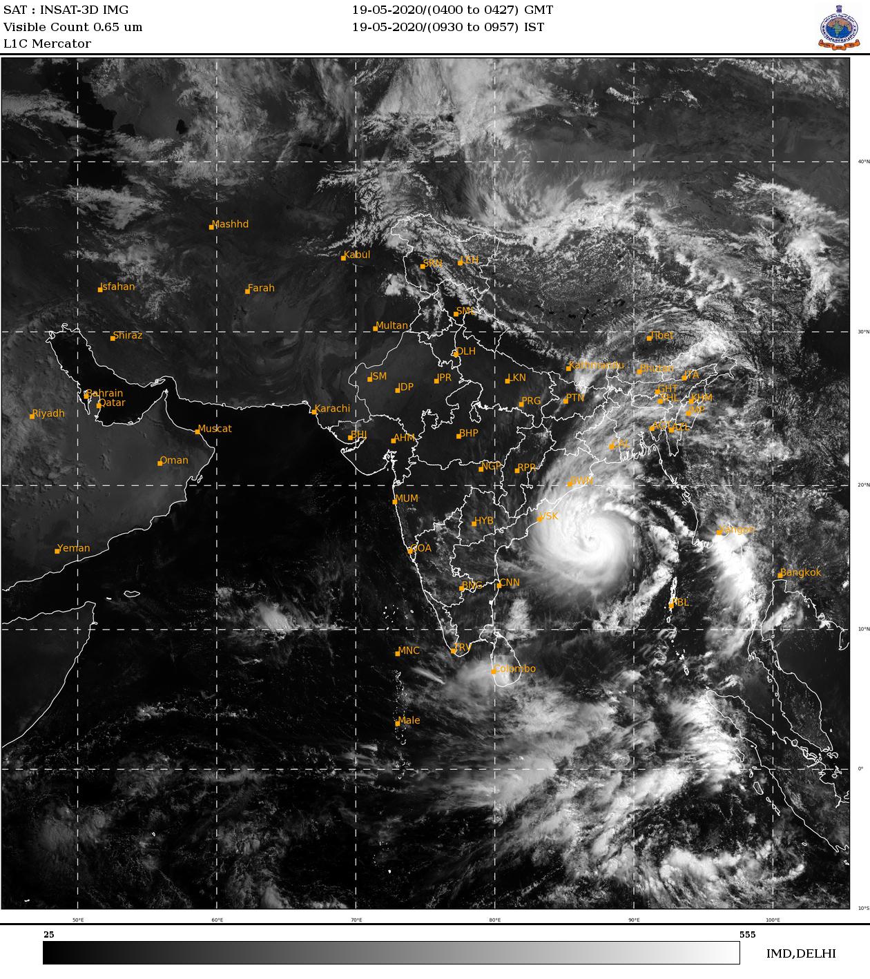
SUPER CYCLONIC STORM OVER BAY OF BENGAL
The Super Cyclonic Storm ‘AMPHAN’ (pronounced as UM-PUN) over Westcentral and adjoining Eastcentral Bay of Bengal moved nearly north-northeastwards with a speed of 14 kmph during past 06 hours and lay centred at 0230 hrs IST of 19th May, 2020 near latitude 15.2°N and longitude 86.6°E over Westcentral Bay of Bengal about 570 km nearly south of Paradip (Odisha), 720 km south-southwest of Digha (West Bengal) and 840 km south-southwest of Khepupara (Bangladesh).
It is very likely to move north-northeastwards across northwest Bay of Bengal and cross West Bengal – Bangladesh coasts between Digha (West Bengal) and Hatiya Islands (Bangladesh) close to Sundarbans during the Afternoon / Evening of 20th May 2020 as an Extremely Severe Cyclonic Storm with maximum sustained wind speed of 165-175 kmph gusting to 195 kmph.
Also read: Coastal weather forecast: May 18
Data based on IMD website